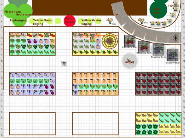
Well friends, Spring has arrived in the Northern Hemisphere, and for many of us that means spending more time outside…
GIS WORK
Synthos is a full service GIS and mapping consulting firm serving a variety of industries including the U.S. Federal Government.
QUICK START
Please leave us your contact info and a brief description of your project, and we'll reach out to learn more!
TESTIMONIALS

Tom Simon’s services are some of the best around! As a customer of Tom for many years, he has provided outstanding support in website management/redesigning, complex site surveying using GPS, and robust GIS project development and support. Tom has the ability to see through the many challenges and come up with innovative and cost-effective solutions. Tom can also provide you with hands-on easy-to-follow introduction or customized training in the areas of, GIS, geospatial analysis, and GPS surveying. If you need GIS/analysis, mapping, GPS survey, and web support – Tom is the one you want on your team!

I have known and worked with Tom since 2002 when I joined NOAA as Chief, Safety and Health Division. He was under contract with NOAA on the West Coast performing highly technical IT and related work with later emphasis in GIS mapping. His work is flawless and always on time. Plus he has the rare ability to manage his bosses. Tom also has the intestinal fortitude and stamina to work independently as a small business. He will provide any new customer that personal service to get a project done on time and under budget.

Tom is great to work with, he brings a “can do” mentality to every job, he helps develop and effectively manages client expectations, and delivers quality work on time and within budget. Tom brings a positive attitude and key skills to every project.
Tom has been a great help to the NWE team over the years. When we have a deadline and the workload is too much to complete on time, we will then reach out to Tom for help completing the task. Tom has always been quick to respond to my emails and phone calls and gives an honest timeframe how long a task should take. Tom is also there to help when I come across something that I am unfamiliar with and when we looking for new, faster and better techniques to better serve our customers.
GIS PROFESSIONAL SERVICES
Do you need to leverage Geospatial information for your business? Want to develop GIS Mapping for in-house use? Not sure where to start? Synthos can help you choose the Geospatial tools most appropriate to your needs, desired capabilities, and budget. Large or small, we can help you. Just need some questions answered? Call us!
Professional Quality Assurance (QA/QC) Services
Attention to detail is key in many professions, it is critical in GIS and Mapping. We can provide QA services even if we are not running your GIS project. Sometimes it is useful to have an impartial third party review your data, process, or final products. We are happy to provide these services.
Remember in school when all the GIS data was clean, formatted, and usable? Not so often in the “real world.” With years of experience, we have learned the tricks needed to Clean, Verify, QA geo-spatial data and convert it to the most appropriate format. Data Doctors here!
Mentoring, Training, and Technical Support
Developing your own GIS system and staff? We can help with training, getting started with hardware, software, data sourcing, and the setup process. We do custom on-site training and provide Technical Support for Students, Decision-makers, GIS staff, or… anyone.
Synthos collaborates closely with clients, delivering honest, high-quality work tailored to your needs—no surprises, just excellence!
GIS Mapping Services
From initial planning, project design, Geospatial analysis, Mapping to final QA and reports; we do it all. We can help you through the entire process of a GIS/Mapping project.
DATA COLLECTION, ANALYSIS, MAPPING AND FIGURE PRODUCTION
Whichever stage you project is at, we can help. Geospatial Data collection? We’ve got you. Just need some Analysis? Call us. Need maps and figures made from your data, we are happy to help with exactly what you need.
Industry Standard Software
We use the best software available. ArcGIS Pro, the entire ESRI suite, Trimble, and other selected tools to meet your specific needs.
We can host your GIS system for you, or help you set up your own in-house. We can help get your online mapping system set up, and access online geospatial data. Finally, if we are not the perfect fit for your needs, we will refer you to our network of other Geospatial and Mapping specialists at no charge.
THE TEAM

Tom Simon is an experienced Geographer and GIS Consultant. Holding a Master of Science Degree in Geography, Tom has almost 25 years of experience creating GIS solutions, Mapping a variety of data in many fields, including Data Collection using GPS in many settings, notably remote Alaska. His passion is helping clients develop creative geospatial solutions that add value to their business or enterprise. He has worked with a wide variety of clients, including NOAA, EPA, businesses and non-profits alike.

Zita Concepcion-Simon is an IT Professional, originally from the Philippines, with over two decades of work experience in the Software Development Life Cycle i.e. requirement-gathering, development & testing. She also has extensive experience with Quality Assurance (QC/QA) testing.
OUR CLIENTS
SYNTHOS KEY INFORMATION SYNTHOS, LLC GOVERNMENT POC: TOM SIMON, MS
CAGE Code: 789F1
DUNS#: 002671442
Federal Tax ID (EBI #): 46-1185792
Synthos News
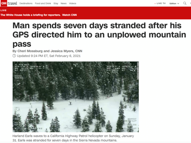
In our modern, tech heavy world we often rely on our semi-magical tech devices as if they are fool proof. …
A few months ago I read an excellent article by Angie Wang of Omnitek Consulting. In Generalist vs. Specialist, Ms….
