June 2019 Midwest Flooding:
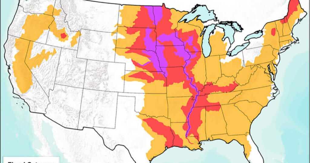
The news these days is “Flooded” (pardon the bad pun) with news of severe weather and massive flooding in America’s Midwest region. Millions of acres are flooded, and millions of people in danger of injury, property loss, and even death due to severe storms, extreme rains, and flooding events.

The Baton Rouge Police Department shared photos Thursday, May 30, 2019, taken during levee patrols as the swollen Mississippi River continues to rise. Water has risen to several feet within the top of the levee to the left of the image. (Courtesy of Baton Rouge Police Department, Facebook)
As I discussed in a recent blog, the National Weather Service does a fantastic job, along with private companies and citizen weather observers, to provide early warning and detailed forecasting of weather events and when and where emergent flood risks exist. Local authorities work with the US Army Corp of Engineers to plan for and mitigate flood damage once it occurs.

This image of flooded homes in Sand Springs, Oklahoma, was captured on May 30, 2019. (Satellite image ©2019 Maxar Technologies).
While some families and business have flood insurance, many do not. Traditionally, the primary source of information about both short and long term flood risk came from the venerable FEMA Flood Maps (Part of the National Flood Insurance Program).
FEMA maps have long been the standard of flood risk mapping. However, they were originally made before the advent of GIS and remote sensing tools, and have only been updated sporadically over the years. In addition, they only used a limited set of data parameters. Newer techniques and data sources provide a more complete and detailed picture of flood risk than most FEMA flood maps. Most existing maps are not adequate to assess flood risk for the purposes of planning and insurance decisions in today’s world.
Our partner, Coastal Risk Consulting, LLC provides state of the art, detailed, and cost effective flood risk reports for homeowners, businesses, and government agencies. They go beyond FEMA maps to provide actionable information for planning and insurance decision making BEFORE floods happen.
“FEMA FLOOD MAPS MISSED 75% OF CLAIMS”
-Rice University
Coastal Risk’s affordable and detailed reports show an individual property’s exposure to storm surges, extreme coastal tides, river and stream flooding, hurricanes, heavy rainfall, groundwater inundation, and the impact of future sea level rise. And we can point you to flood protection solutions.
Check out this sample report for a residential property: https://floodscores.com/Media/files/FCRA_Coral%20Gables%20FL%201519.pdf
Coastal Risk Consulting can produce these reports in one hour from the order, for only $199.
To learn more, contact Mr. Albert Slap, President at: Contact. Tell him you were referred by Tom Simon, President of Synthos, LLC for a 10% discount!
To learn more, or if you need GIS help regarding flood risk or other issues, contact Tom at:
SynthosLLC@gmail.com or 206-406-5246.