As Geo-Spatial professionals, many of us relish the opportunity to make use of high-tech, sophisticated equipment, powerful software, and complicated algorithms and models. Why? Because they allow us to collect, process, and understand a wide variety of data, in great quantity and accuracy, and learn important things to support our missions. But let’s face it: Tech tools are Cool!
With GPS we can locate stuff to 1 cm. in 5 seconds. We can process vast amounts of complex data on ourlaptops. We can produce beautiful, useful maps in minutes that in the past would take years to make, if they could be made at all.But once and a while, the best solution comes from matching the whiz-bang cooltechnology with good old common sense. This is a story about that.
Well Elevations in the Bering Sea
A little over 10 years ago, I was working with the National Oceanic and Atmospheric Administration (NOAA) in the Pribilof Islands, Alaska. As part of the NOAA Pribilof Islands Environmental Restoration Project, my task was to conduct well head elevation surveys on 43 groundwater monitoring wells on St. George Island. To do this, my partner John and I used

Trimble 5700 series Survey grade GPS receivers.Using Fast Static and Static post processed techniques, we were able to obtain horizontal and vertical (elevation) measurements of +/- 3mm. with good repeatability. Our job was to survey 43 wells, doing secondary, redundant surveys on 1/3 of them, to minimize blunders and obtain a reliable elevation model of the groundwater network. It sounds pretty simple: Set up the tripod, start the observation, and sit in the truck drinking coffee until it was time to move to another well.
The Problem: Normally, the process is simple: Set up and level the tripod (3 minutes for most people, 10 for me), measure antenna height, double check everything, and start the GPS observation. However, on St. George, that didn’t work so well. Between extremely uneven ground, constant rain, and 50+ mile per hour winds, it was taking us over 45 minutes to get a good setup; only to have a 70mph gust knock the tripod over. There had to be a better way.
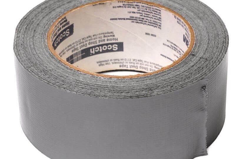
The Solution: DUCT Tape. No joke, that did the trick. While puzzling over what to do, watching sea foam splash on our windshield from 300 feet down the hill; we finally realized the key thing. Since we were only interested in really accurate and precise Elevation, we didn’t have to center up the tripod horizontally over the well pipe. Our expected horizontal error was only 1-2 centimeters anyway; well within the width of the pipe we were measuring. So, we got the idea to just strap the Tribrach holding the GPS antenna right to the pipe. The Tribrach was a solid piece of metal of a known height. By simply securing the Tribrach/Antenna assembly directly to the well pipe, we accomplished two important things:
1) By taping the Antenna directly to the pipe, we eliminated set and measurement errors, and were able to obtain very accurate and repeatable measurements. Average elevation error over 57 observations was +/- 3mm. (1/100th of a foot). Standard well elevation measurement specifications.
2) We completed the Survey! By reducing our setup time to 3 minutes per well on average, we were able to complete survey of all the wells within the time allotted, and under budget. This done in a very harsh environment on a remote, isolated island. Traditional tripod setup would have taken many times longer and introduced much more error.
We had $50,000 worth of GPS gear, $10,000 worth of software, and some great minds; but without that $2 roll of Duct tape, the entire $700,000 groundwater monitoring project might have been significantly compromised.
Sometimes it is the simple things that are most important. I’d love to hear stories from others who found elegant, simple ways of solving difficult problems. In particular with regard to GPS work, GIS, and work in remote areas, as these are some of my interests.
By the way, we at Synthos, LLC do a full range of GPS survey and GIS Project Development and Management. As you can see from this article, we pride ourselves on creating problem solving!
Call Tom Simon: 206-406-5246, or E-mail at: SynthosLLC@gmail.com