Special Purpose Districts (or SPDs) are unique geographic areas used, among other uses, to provide a means for taxes to be levied on certain commercial activities to support identified public needs. These tap into large financial transactions (or a great many small ones) to provide funding otherwise not available to worthy functions needing funding through government entities.
Certain companies, including telecommunications and other services firms, are required to account for taxes accrued for their services due to these SPD’s assessments. Since these taxes are often passed on to consumers on their bills, accuracy and consistency is important.
Special purpose districts are generally created through the county legislative authority to meet a specific need of the local community. Some are created by city legislative bodies. The need may be a new service, a higher level of an existing service, or a method of financing available through the creation of a special purpose district, such as a Transportation Benefit District. They are political subdivisions of the state and come into existence, acquire legal rights and duties, and are dissolved in accordance with statutory procedures.
Due to variations in state, county, and local government structures, procedures, and specific community needs; SPDs take on various forms and are managed by a variety of entities. Many agencies (state, county, local, etc.) provide the geographic boundaries and attribute information free to the public in standard formats compatible with Geographic Information Systems (GIS); but many do not. As a result, collecting, organizing, and updating such information is a complex and often challenging task.
Geographic Elements, GIS Data solutions:
SPDs normally fit inside the geographic boundaries of such jurisdictions as Counties, Cities, and of course US States. They are sometimes quite small and diverse, and can share boundaries with and overlap other districts, making the determination of which SPDs are relevant for a businesses activities difficult to determine.
Thankfully, GIS provides a number of tools to help with this problem. State, County, and often City (or Municipality) boundaries are usually available in the public domain, and standard GIS layers are available from multiple sources, most often free of cost. Sources include the US Census Bureau, State GIS data clearinghouses, and city GIS departments. However, Special Purpose Districts are another matter. Such districts are called by many different names in different states, and availability of GIS based data varies widely across the US. For example, Colorado has a state-wide data set in ESRI shapefile format, while Washington State had SPDs scattered in various files from different agencies, with no standardization regarding SPDs.

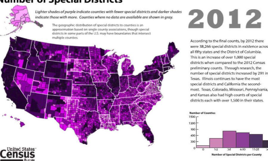
Gathering this information and melding it into a cohesive package presents a challenge. Thankfully, GIS provides a variety of tools for identifying, classifying, and calculating the relationship between SPDs and the service location points of a business. This can be of great value to companies which need to accurately calculate tax responsibilities across complex geographies, with multiple levels of tax considerations. The graphic below shows a simple example of initial steps in this process using ArcGIS.

At Synthos, we are developing a detailed set of business rules and research processes to facilitate the gathering, aggregation, analysis, and updating of Special Purpose Districts for use by our clients.
Check out our future Blog on this topic, coming later this week.
For questions or for a no-cost consultation on this topic, call or write Tom Simon, President of Synthos, LLC at:
206-406-5246, or E-mail: mailto:SynthosLLC@gmail.com